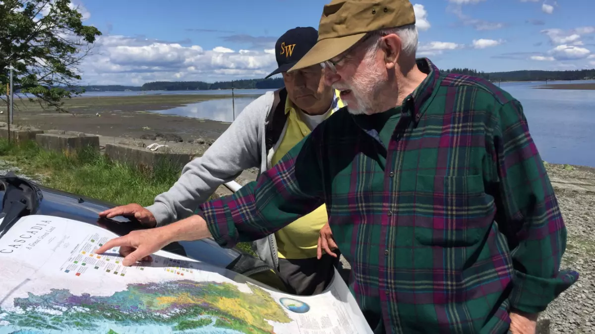
Interview: David McCloskey, founder of the Cascadia Institute

David McCloskey is a retired sociology and ecology professor, and founder of the Cascadia Institute. He is widely credited with popularizing the term 'Cascadia' in bioregional parlance, and has developed numerous detailed maps of the lands and waters that define it.
Bioregionalists conceive of place not as abstract borders or territories of the sort imposed by property or states, instead assessing them as emergent, self-defined, and living things that include the 'physical and cultural' geography—the watersheds, landscapes, and more-than-human biodiversity alongside the people who make life there. Ultimately, like all bioregions, the term 'Cascadia' is taken as an invitation not to define the place, but instead to celebrate and participate in the processes by which a bioregion defines itself. After all, we are part of our host landscapes, too.
This interview was conducted via email as part of my recently published story in Noēma Magazine, about the burgeoning bioregional movement and their embrace of new technologies and financial concepts to (hopefully) re-root social and economic life in Earth. The lengthy interview has been lightly edited.
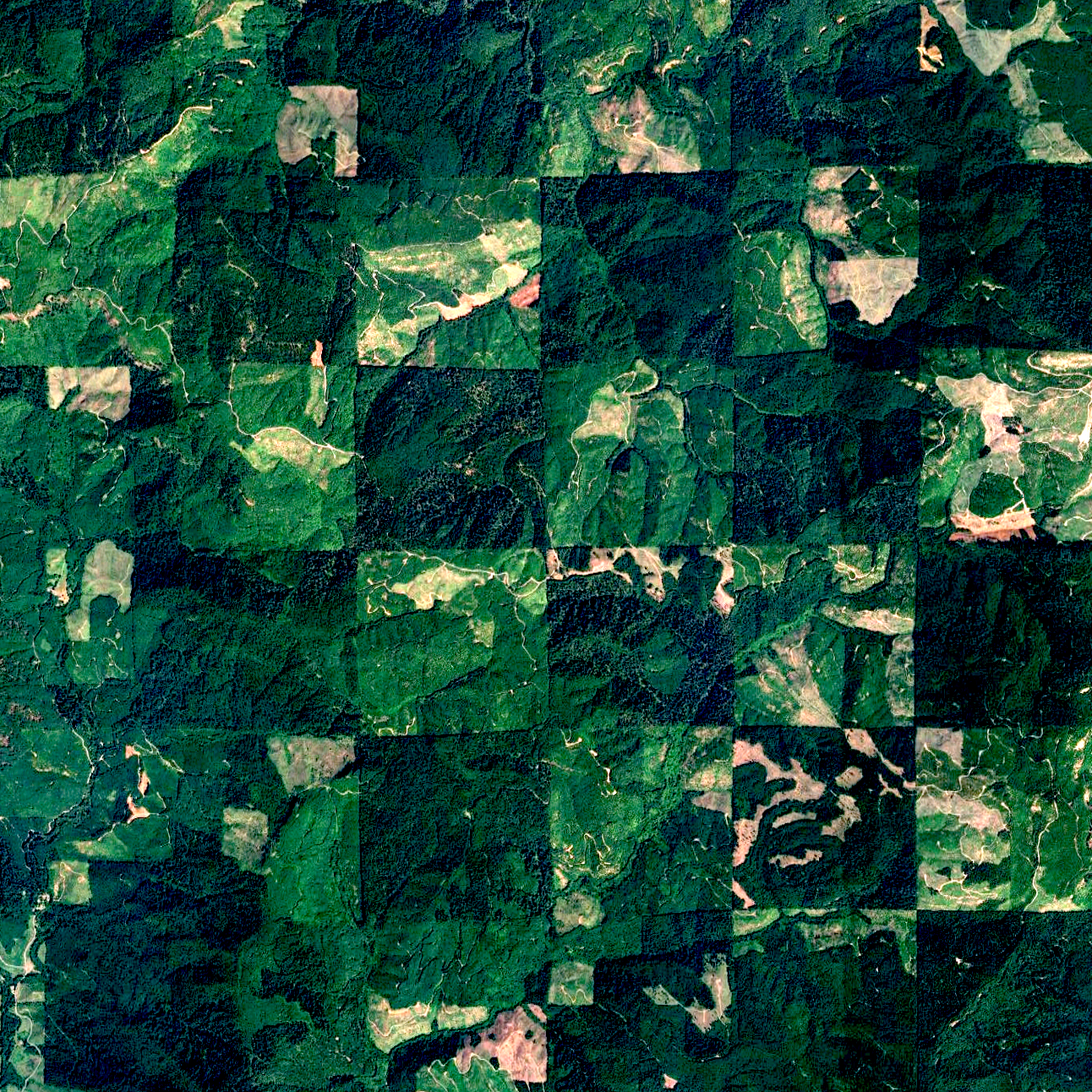
Doug: As I understand it, various physical and cultural geographies combine to describe Cascadia—watersheds, salmon spawning patterns, myriad other dynamic phenomena. Yet in producing maps of the bioregion, you've had to determine where its outermost reaches start and end. What made one mountain range, valley, or watershed Cascadian, and the next one over part of something else?
David: The first thing to note about Cascadian map boundaries is what they are not—they are not mere arbitrary lines on a map as a kind of “fiat space” imposed by imperial authorities. The region is not an empty “container space” (going way back to Aristotle) which can be seized, cleared or emptied out, and filled back up at will. It is not arbitrary, but grounded and natural; It is real, not a projection.
You’re correct in sensing that bioregional boundaries stand forth as “convergent thresholds” where many dynamics converge and contexts change. A bioregion is known both by its distinctive character (internal) and context (external relations). For instance, Cascadia stretches from the coast on the west to the Continental Divide on the east. Cascadia thus drains the whole northwest Pacific slope, stemming from great westward flowing rivers such as the Taku, Stikine, Skeena, Fraser, Columbia, Snake, et cetera. This forms the main hydrological divide in North America.